
Foehn
The foehn is a small-scale wind system which arises throughout the world in locations where strong winds blow across mountain ranges. The main effect of the foehn is the generation of warm and, above all, dry falling winds on the lee side of the mountain range while orographic precipitation can arise on the windward slopes.
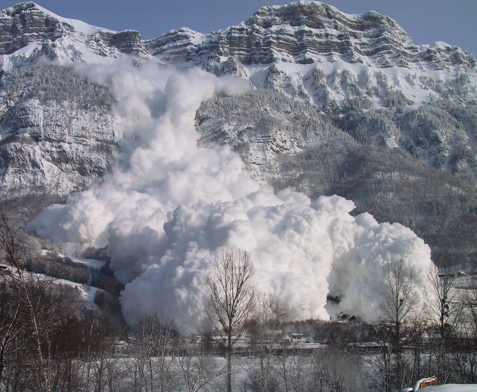
A foehn storm can reach hurricane force wind speeds (from 117km/h) with maximum values exceeding 200 km/h. Suitable protective and preventive measures are important, therefore, to minimise the risk of damage in areas affected by such winds.
› How can I protect myself against a foehn storm? The same protective and preventive measures as those advised for all storms apply here.
Foehn in Switzerland
The Alpine foehn is a known meteorological phenomenon in Switzerland that frequently arises in spring (March-May) and in winter. It can take two different forms: the classical south foehn is by far the most common manifestation. However, the rarer north foehn is equally important in regional terms as it can contribute significantly to the forest fires that often arise during winter drought periods. Further information on the foehn in Switzerland can be found by clicking on the following links.
Typical manifestations and foehn regions
The classical foehn situation is associated with cloud accumulations and orographic precipitation on the southern slopes of the alps. The wall of cloud is referred to as the “foehn wall” and can be observed from the northern slopes. The dry adiabatic sinking of the air masses on the northern Alpine slopes causes the clouds to dissolve. Characteristic of this area, which is known as the “foehn window”, is very clear and extremely dry air, almost blue sky and extreme visibility.
")
